

I was blown away by the level of professionalism and skill exhibited by eyefly. Their drone photography and videography services are second to none. The aerial shots they captured for our property listing added a whole new dimension to our marketing, and the results were outstanding

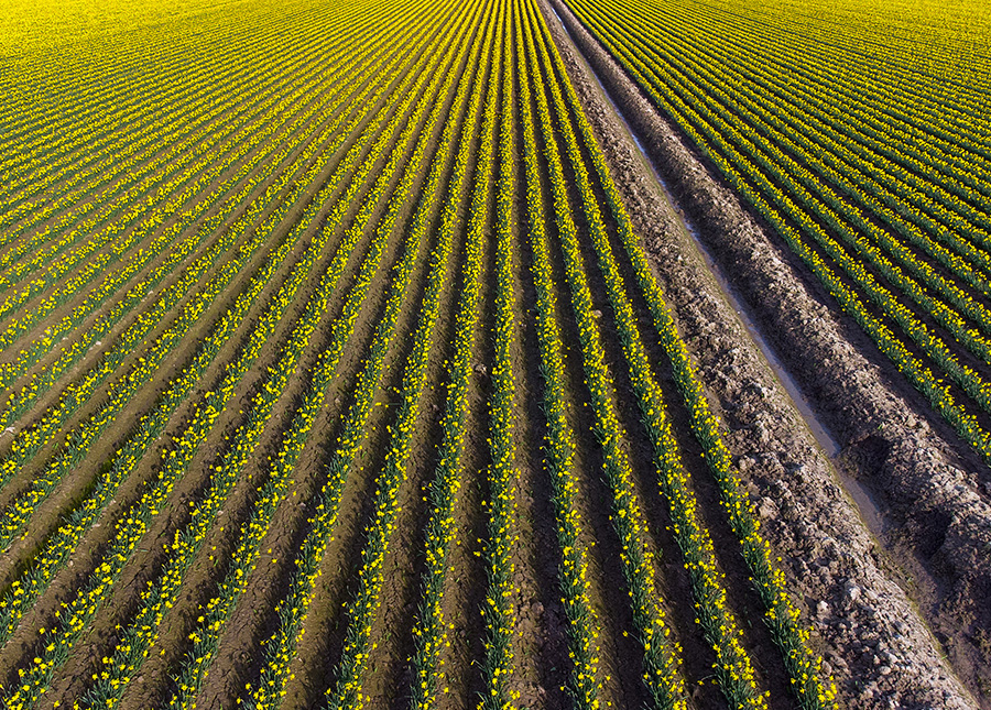
We surveyed a customers farm to get a comprehensive to assess and monitor the agricultural land, crops, and other farm-related assets.
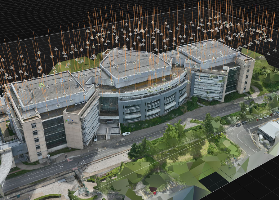
We undertook a job for a laser surveying company who needed the roof of a office building scanned.
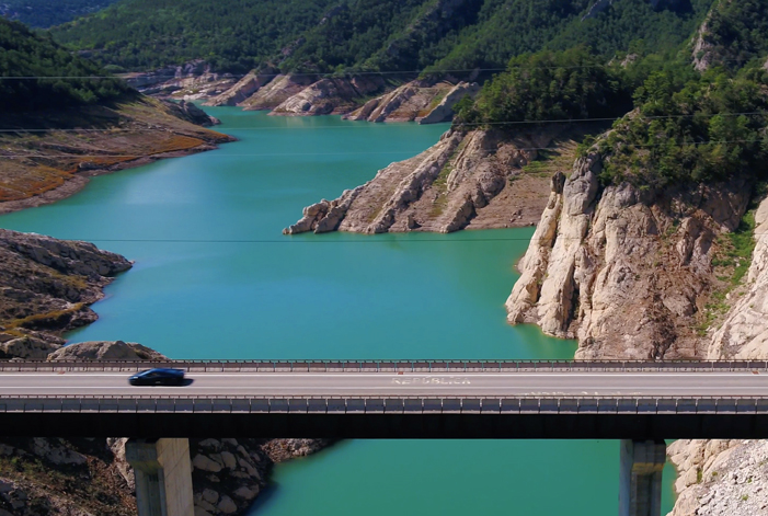
We undertook Photography and Videography for Drive Collective, a Road trip company.
